Lower Merced River Riparian and Pre-1914 Claims
This web page contains resources to help you identify if your property has a riparian right and where water diverted under a riparian right can be beneficially used.
The Merced River
The Merced River is a tributary of the San Joaquin River and is an important source of water for many Californians living in the San Joaquin Valley. Although reaches of the Merced are designated as National Wild and Scenic River, there are several dams and irrigation diversions which control the flow through the reaches of the lower Merced. This flow provides important habitat for many protected species including great blue heron, great horned owl, bald eagles, and Chinook salmon, but also provides water to residents for domestic use and for agricultural purposes.
The water users on the Merced River claim a mix of water rights including Appropriative Rights permitted by the California State Water Resources Control Board, pre-1914 Appropriative Rights, and Riparian Rights. The majority of water users on the Merced River are riparian users.
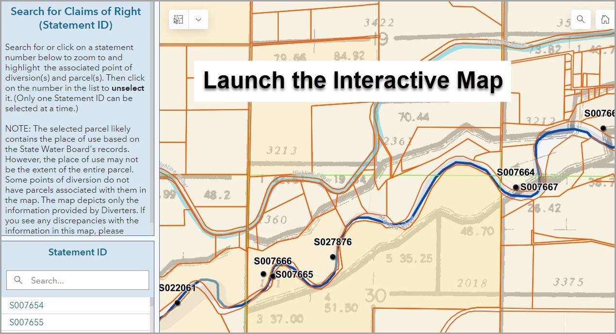
Interactive Map of Lower Merced River
Water diverted under a Riparian Right can only be used beneficially on land which is riparian to that water course. The interactive map is intended to help users identify which parcels along the lower Merced River are riparian to the river. Additional research beyond this map is required to verify the validity of a claimed Riparian Right. Information provided by this map does not confirm a claim or right.
The map tool includes examples of riparian rights for reference. If you have further questions about Riparian or other Water Rights, please refer to the Water Rights FAQ webpage.

Contacts
If you encounter any issues using the interactive map, or believe information contained in the map may be incorrect, please contact State Water Board staff.
Phone: (916) 341-5300
Email: dwr@waterboards.ca.gov


